3d modelling

How to Model a 3D Site from Google Earth in Under 60 Seconds | 3D Topography Site Terrain Model Tutorial

How to Model a 3D Site from Google Earth in Under 60 Seconds | 3D Topography Site Model Tutorial

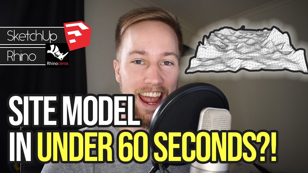
Create 3D models of terrain, contours and topography using accurate data from Google Earth using Sketchup and Rhino. THE MOST UNDERRATED SITE MODELLING TOOL EVER.

In this Sketchup and Rhino tutorial, you’ll learn how to model a 3D site in less than 60 seconds.

It involves geo-locating a site from Google Earth in Sketchup, and then transferring that model to Rhinoceros 3D to create a NURBS surface 3D model of the chosen site.

This is something I’ve only just discovered after spending 2 hours+ modelling a site from referencing a contour map – and thought – surely there’s a better way to do this.

Sure enough, Sketchup and Rhino have a solution.

I hope you find this helpful!

Welcome + The #1 Tip to Achieve Success as an Architecture Student | SAS Podcast 1

On the podcast, you’ll hear from practicing architects, other successful students and myself, Kyle, a third year architecture student from South Australia.

Doing so, you’ll learn the tips and tricks to excel past the rest of your cohort and build the skills needed to take your work to another level.

On today’s episode, I welcome you on to the podcast for our very first episode! I’m super fired up to be starting the show and I’m glad you’ve decided to join me on the journey.